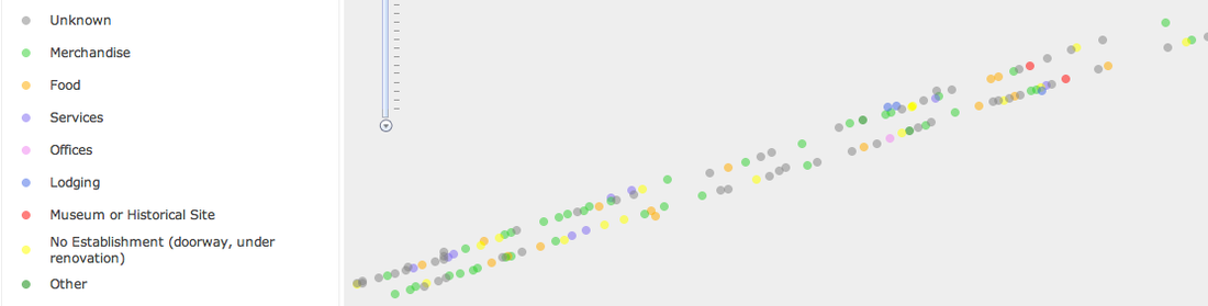
Data Details
Data Locations
- Points should be parallel to straight road? (Snap to road edge)
- Misalignment with Esri base map
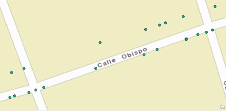
Original
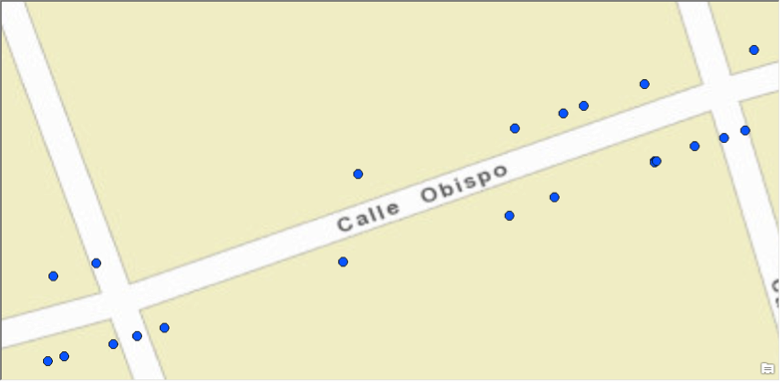
Moved South
Base Map
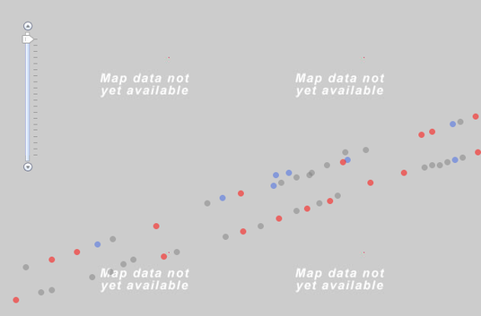
- Esri base map not available at the scale we need.
- You have an aerial photo we can use instead? (Source? Date? How did you georeference it?)
- What about street names/locations? (Do we have to make this ourselves?)
Missing Data
In our preliminary exploration, it looks like a lot of the data is missing. Can we determine any correlations or spatial patterns with so much missing information?
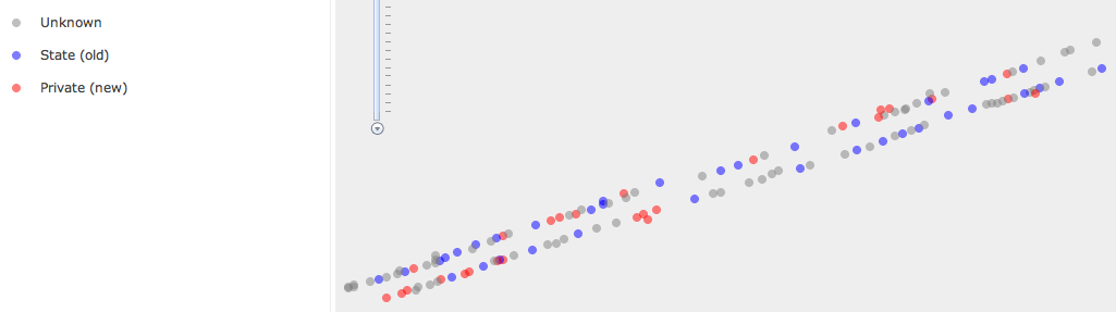
Ownership
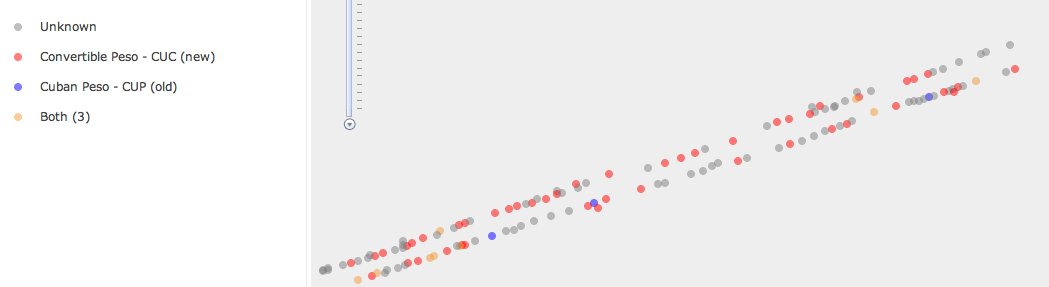
Currency
Type